FREE

Free city map
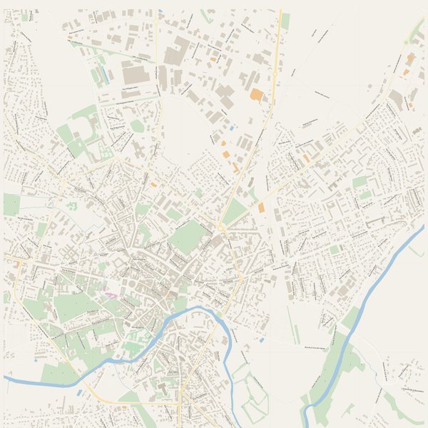
High-resolution printable map of Alençon — vector PDF prints sharp from A4 to A0.
5 specialised printable PDF maps of Alençon, France. Free overview is free. Premium maps from €2.99. Vector PDF — print at any size from A4 to A0.

5 maps from the same data. Free preview, single-file download, no subscription.
High-resolution printable map of Alençon — vector PDF prints sharp from A4 to A0.

High-resolution printable map of Alençon — vector PDF prints sharp from A4 to A0.

High-resolution printable map of Alençon — vector PDF prints sharp from A4 to A0.

High-resolution printable map of Alençon — vector PDF prints sharp from A4 to A0.

High-resolution printable map of Alençon — vector PDF prints sharp from A4 to A0.
Everything you need to know before downloading.
PDF (vector — prints sharp at any size: A4, A3, A2, A1, A0) and JPG (web preview, 10000+ px master).
The PDF is a true vector — print it at any size from A4 (home printer) to A0 (a wall poster) without any loss in sharpness.
14-day refund, no questions asked. See our refund policy.
OpenStreetMap (© OpenStreetMap contributors, ODbL). We re-style and re-render it as a printable product.